
Climate action across council
From cleaner transport and council facilities to flood resilience, greener spaces and community-led projects, climate action is happening across Auckland Council. Explore the major programmes helping reduce emissions and build a more resilient Tāmaki Makaurau.
Reducing emissions
Cleaner council facilities, transport and urban places.
Decarbonising council assets
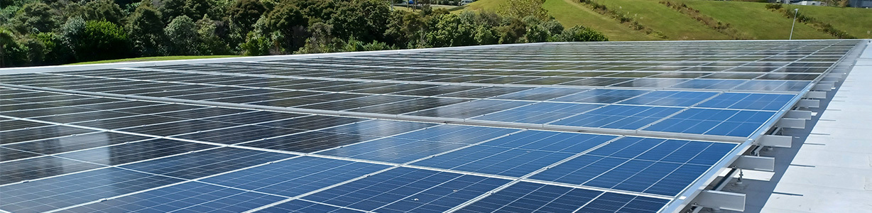
Council is reducing emissions from the buildings and facilities Aucklanders use every day. Gas boilers at pools, including Moana-Nui-a-Kiwa in Māngere and Stanmore Bay, are being replaced with electric heat pumps.
Solar panels are being installed at facilities including Albany Stadium Pool, Blockhouse Bay Community Centre and Orere War Memorial Hall. At the Auckland Domain Winter Gardens, a biomass pellet boiler has replaced gas heating. Some council projects have also achieved 5 Green Star ratings.
Mission Electric and City Rail Link
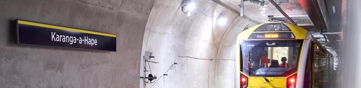
Auckland Transport's Mission Electric programme is working to reduce emissions from public transport. This includes replacing diesel buses, investing in electric bus depots and trialling electric ferry technology.
Rail electrification between Papakura and Pukekohe was completed in 2025. City Rail Link is another major investment in better-connected, higher-capacity rail travel, giving more Aucklanders alternatives to travelling by car.

Climate-friendly urban regeneration
Auckland Urban Development Office (AUDO), formerly Eke Pānuku, is incorporating climate action into the way neighbourhoods and town centres are regenerated.
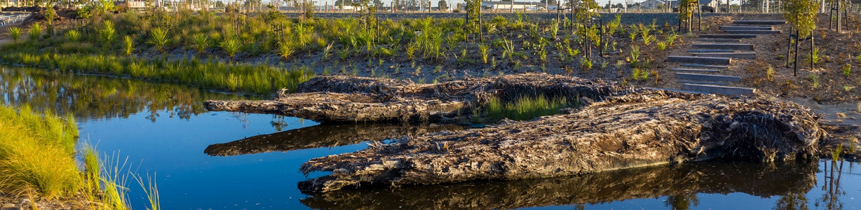
Its work includes re-greening streets, restoring waterways, supporting more connected places and creating public spaces where communities can thrive. These changes show how everyday urban design can contribute to a lower-carbon, more resilient Auckland.
Preparing for climate impacts
Reducing risks and strengthening the places and systems Aucklanders rely on.
Making Space for Water
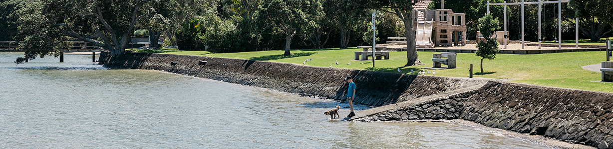
Making Space for Water is Auckland Council's programme to reduce flood risk and help water move more safely through neighbourhoods. It brings together physical infrastructure upgrades and ways of working with natural waterways, rather than relying on pipes and drains alone.
The programme includes investment in stormwater infrastructure, increased maintenance, stream and waterway resilience, blue-green projects, community and site-specific flood solutions, and tools such as the Auckland Flood Viewer.
Major upgrades and local projects are underway, with work identified in places including Wairau Valley, Harania Creek in Māngere, Te Ararata in Māngere and Clover Drive in Rānui.
Adapting Auckland's transport system
Auckland Transport is working to make roads and public transport infrastructure more resilient to extreme weather, flooding, landslides, coastal hazards and heat stress.
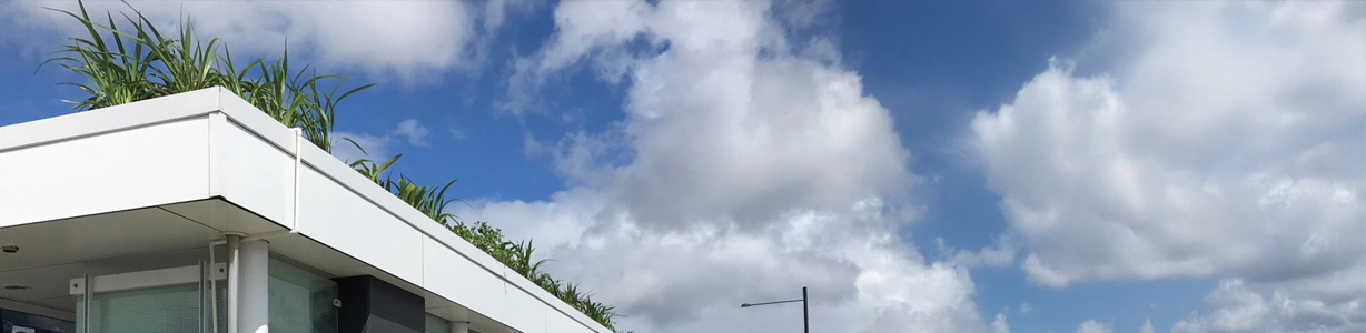
Alongside engineering work, nature-based approaches such as rain gardens and living bus shelters can help manage stormwater, reduce heat and improve passenger comfort. Planning considers future risks and the needs of communities and transport users.
Planning tools to reduce natural hazard risks
Council is reviewing planning rules to better account for flood risk and other natural hazards when deciding where and how Auckland grows.
Proposed changes to the Auckland Unitary Plan include stronger controls in higher-risk areas and rethinking places previously identified for future urban development when hazards make them unsuitable.
Shoreline Adaptation Plans
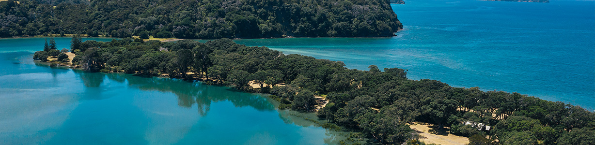
Shoreline Adaptation Plans help guide how Auckland responds to coastal erosion, flooding and sea-level rise over the next 100 years. They focus on council-owned land and assets, including parks, roads, paths, seawalls and coastal facilities.
The plans consider risks over different timeframes and are developed with mana whenua, local communities and infrastructure providers. They inform choices about maintaining, adapting or changing assets as coastal conditions change.
2023 flood recovery
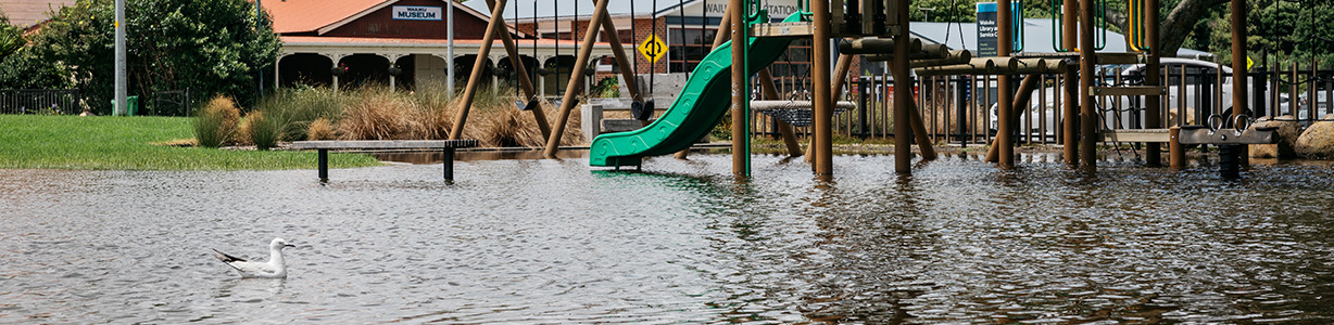
Following the 2023 Auckland Anniversary floods and Cyclone Gabrielle, council and central government have supported affected communities and repairs to essential infrastructure.
Recovery has included support for severely affected properties, transport and water network repairs, and work with neighbourhood groups and communities. Decisions about the future use of storm-affected land form part of longer-term recovery and resilience planning.
Blue-green networks
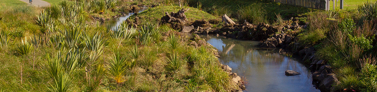
Blue-green networks connect waterways (blue) and open or planted spaces (green), giving stormwater more room to move through neighbourhoods and reducing flood risk where people live.
These projects bring together flood management and greener public spaces. They are part of Making Space for Water and can include changes to streams, parks and the surrounding landscape so that water can flow more safely during heavy rain.